Elevation Profile
Route Description
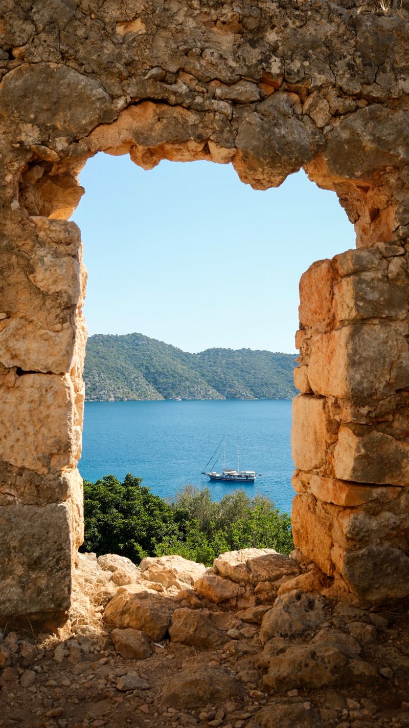
Departing the magical Kekova area, this stage climbs through Kapaкlı village before descending to the river estuary at Çayağzı.
✨ Highlights
⚠️ Watch Out
GPS & Navigation
Open in your favorite hiking app
💡 Quick Tips
Tag @walk.lycianway in your trail photos — we love reposting hiker moments.
Tag Us on InstagramTrail Updates
Real-time conditions from hikers on the trail
Loading updates...
Stage Guide
Everything you need to know before you walk
Leaving the magical Kekova area, Stage 17 climbs through Kapaklı village before descending to the river estuary at Çayağzı. The walking is less dramatic than the previous stage but still beautiful — pastoral hillsides, olive groves, and occasional sea views.
Çayağzı is at the mouth of the Andriake river — a small settlement with boat connections to Demre (Myra) and sometimes basic accommodation. The estuary has a raw, end-of-the-world atmosphere, particularly out of season.
Frequently Asked Questions
Essential information for hiking Stage 17