Elevation Profile
Route Description
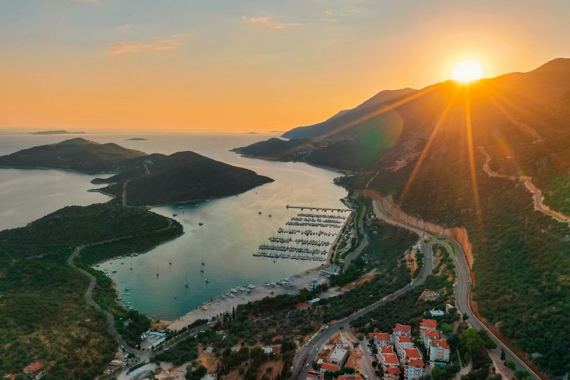
A short descent into the lively harbour town of Kaş — one of the most charming towns on the Turkish Mediterranean.
✨ Highlights
⚠️ Watch Out
GPS & Navigation
Open in your favorite hiking app
💡 Quick Tips
Tag @walk.lycianway in your trail photos — we love reposting hiker moments.
Tag Us on InstagramTrail Updates
Real-time conditions from hikers on the trail
Loading updates...
Stage Guide
Everything you need to know before you walk
Stage 12 is the shortest stage on the entire Lycian Way — a descent of just a few kilometres into Kaş. But don't be misled: the views on the way down are spectacular, and Kaş itself deserves at least a full rest day.
Kaş is the most appealing town on the Turkish Mediterranean for most hikers — small enough to walk everywhere, lively enough to have good restaurants and bars, pretty enough to spend time in without planning. The harbour front at sunset, with Kastellorizo visible across the water, is genuinely beautiful.
Use your time in Kaş to: resupply at the supermarket, get any equipment repaired, eat a proper meal, swim, and rest your feet. The sections ahead get more remote.
Frequently Asked Questions
Essential information for hiking Stage 12