Elevation Profile
Route Description
A pleasant plateau stage linking Bezirgan to Gökçeören via Sarıbelen.
✨ Highlights
⚠️ Watch Out
GPS & Navigation
Open in your favorite hiking app
💡 Quick Tips
Tag @walk.lycianway in your trail photos — we love reposting hiker moments.
Tag Us on InstagramTrail Updates
Real-time conditions from hikers on the trail
Loading updates...
Stage Guide
Everything you need to know before you walk
Stage 10 crosses the plateau between Bezirgan and Gökcöören via the small village of Sarıbelen. The walking is gentle by Lycian Way standards — less dramatic than the coastal stages but deeply peaceful, with broad views over olive-covered hills to the distant sea.
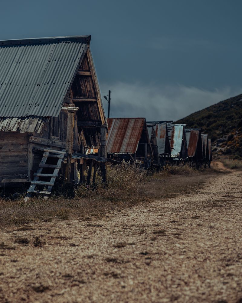
The plateau landscape has a completely different character to the rocky capes of the earlier stages. Stone walls, ancient olive trees and occasional shepherd shelters give the walking a timeless quality. This is Turkey's agricultural interior at its most authentic.
Gökcöören is a compact village with limited but friendly accommodation. The village square, with its tea house and mulberry tree, is a good place to rest and talk to locals.
Frequently Asked Questions
Essential information for hiking Stage 10