Elevation Profile
Route Description
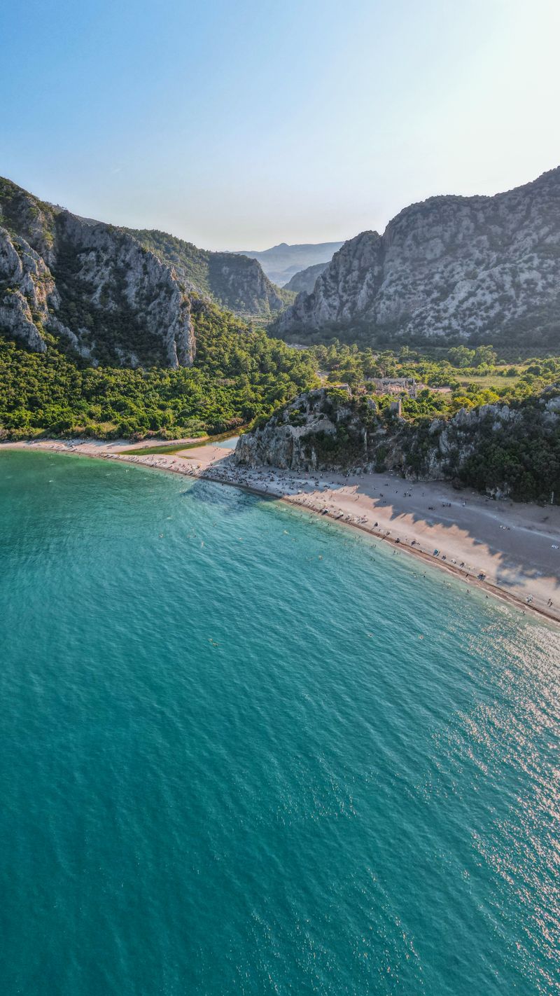
Two options leave Çıralı: route 23A climbs via Ulupınar to Beycik; 23B takes the coastal path via Maden Koyu to Tekirova.
✨ Highlights
⚠️ Watch Out
GPS & Navigation
Open in your favorite hiking app
💡 Quick Tips
Tag @walk.lycianway in your trail photos — we love reposting hiker moments.
Tag Us on InstagramTrail Updates
Real-time conditions from hikers on the trail
Loading updates...
Stage Guide
Everything you need to know before you walk
Two routes leave Çıralı: Route 23A climbs via Ulupınar — a village famous for its trout restaurants beside a rushing stream — to the hilltop settlement of Beycik. Route 23B follows the coast via the yacht anchorage of Maden Koyu to Tekirova, a resort town with full tourist facilities.
23A is the more rewarding route for walkers: the climb through forest to Beycik is hard but the village, with its mountain air and wide views, is a contrast to the coastal heat below. Ulupınar's trout restaurants are worth stopping for.
Frequently Asked Questions
Essential information for hiking Stage 23